Old maps
The Holy Land, Jerusalem, the tribes and the journeys of Paul as mapmakers drew them from 1600 to 1881. Open a map and zoom in.
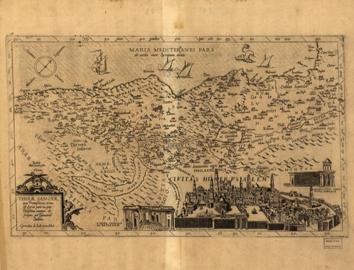 The Holy Land, by Tilemann StellaStella, Tilemann · c. 1600
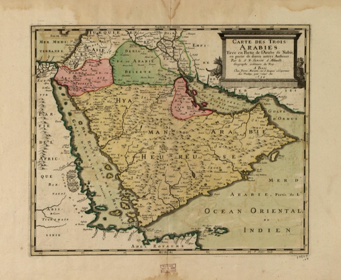 The three Arabias, by Nicolas SansonSanson, Nicolas · 1654
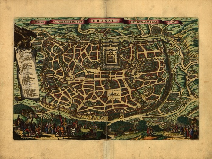 Jerusalem, by Nicolaes VisscherVisscher, Nicolaes · c. 1660
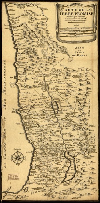 The Promised Land, engraved by LiébauxLiebaux · c. 1720
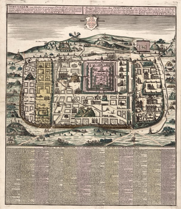 Jerusalem in the time of Christ, by Matthäus SeutterSeutter, Matthaeus · c. 1730
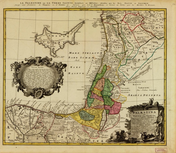 Palestine of the twelve tribes, of David and SolomonHomann Erben (Firm) · 1744
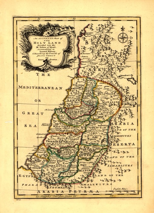 The Holy Land in twelve tribes, by Emanuel BowenBowen, Emanuel · 1752
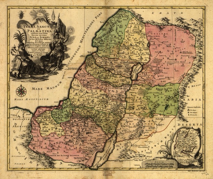 The Holy Land, by Tobias Conrad LotterLotter, Tobias Conrad · 1759
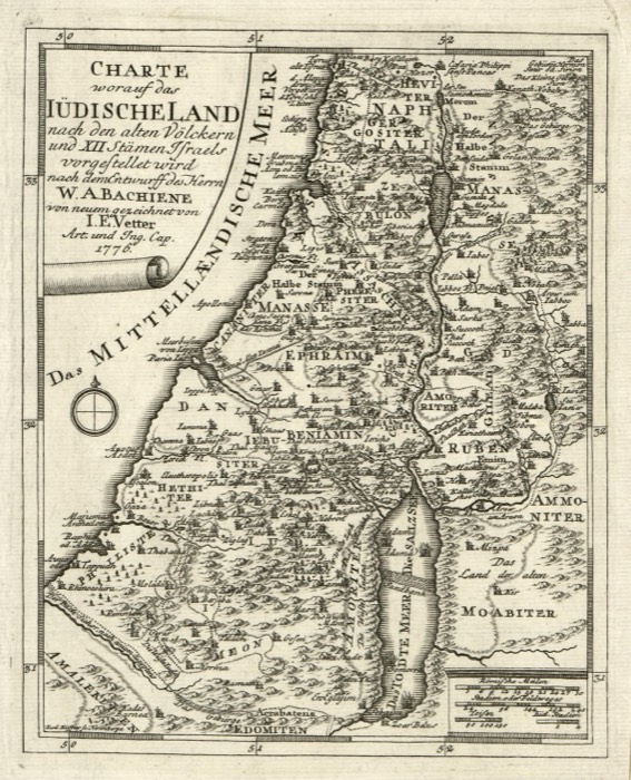 The land of the Jews, its old peoples and twelve tribesVetter, I. E. · 1776
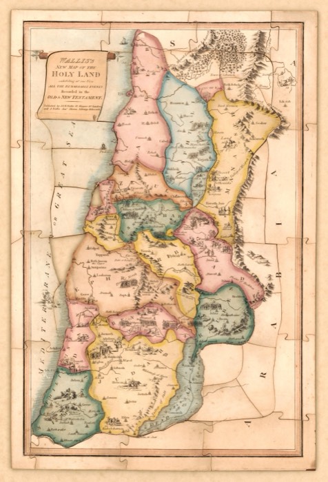 Wallis's new map of the Holy LandJ. & E. Wallis · 1815
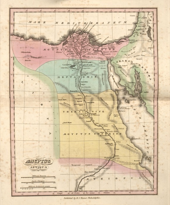 Ancient EgyptTanner, Henry Schenck · 1826
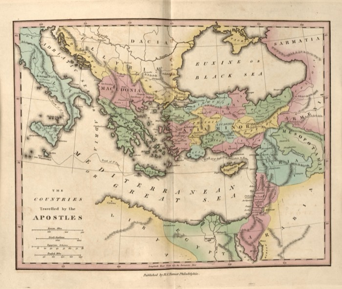 The countries travelled by the ApostlesTanner, Henry Schenck · 1826
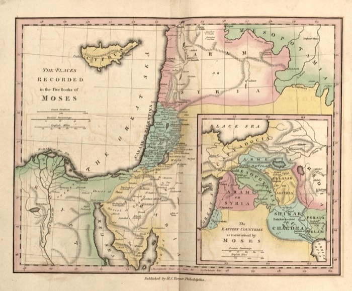 The places in the five books of MosesTanner, Henry Schenck · 1826
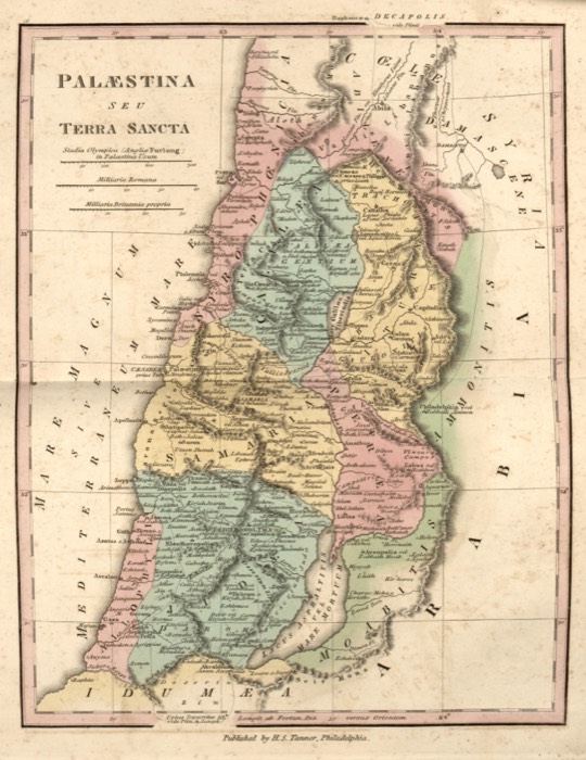 Palestine or the Holy Land, 1826Tanner, Henry Schenck · 1826
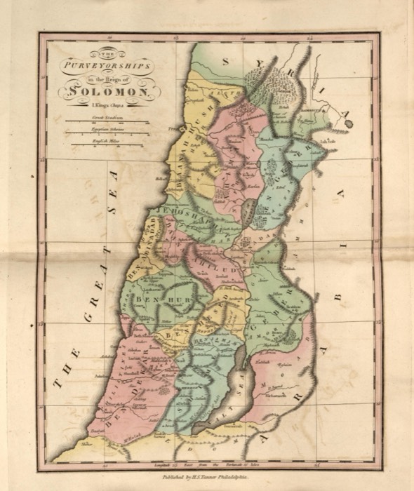 The districts of SolomonTanner, Henry Schenck · 1826
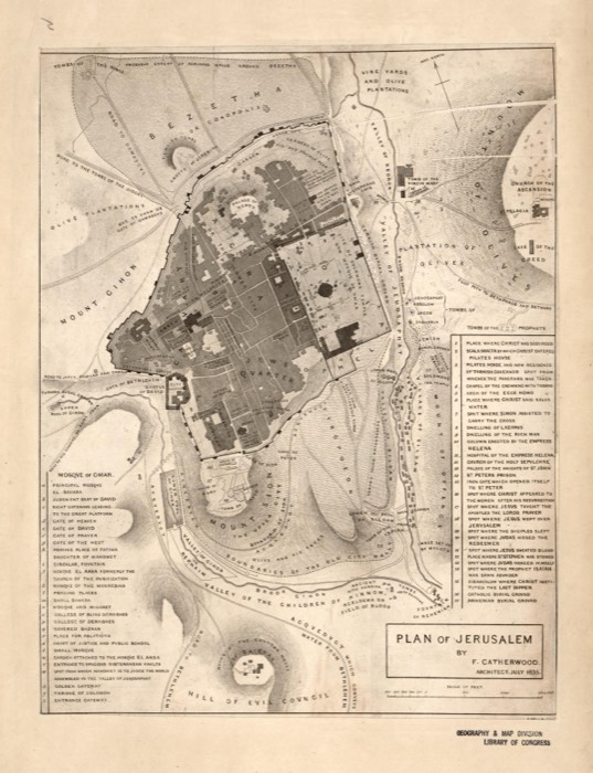 Plan of Jerusalem, by Frederick CatherwoodCatherwood, Frederick · 1835
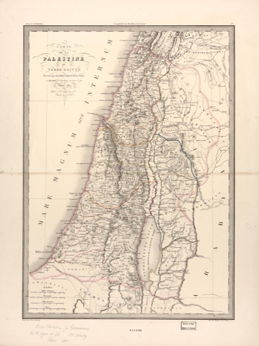 Palestine or the Holy Land, by LapieLapie, (Pierre) · 1842
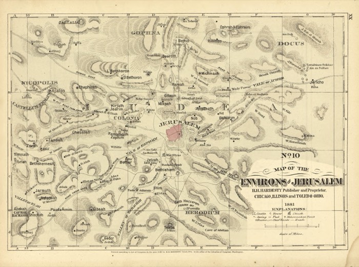 The environs of JerusalemH.H. Hardesty (Firm) · 1881
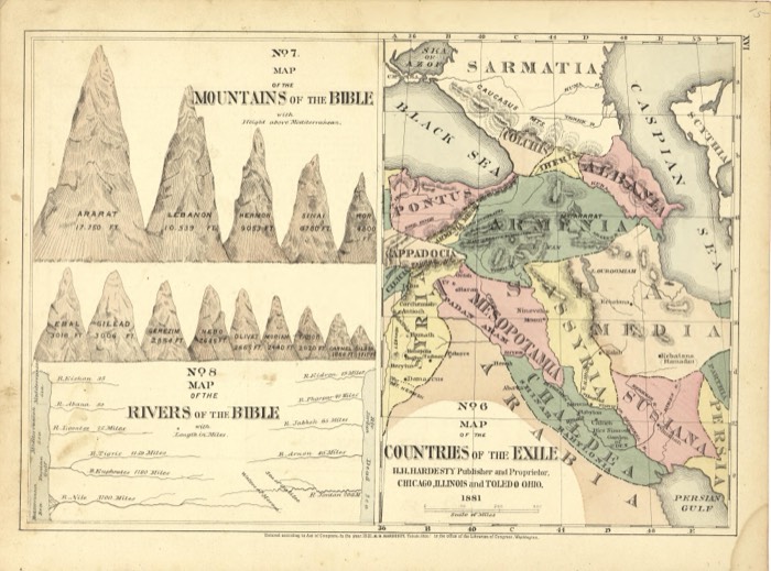 The countries of the exile, mountains and rivers of the BibleH.H. Hardesty (Firm) · 1881
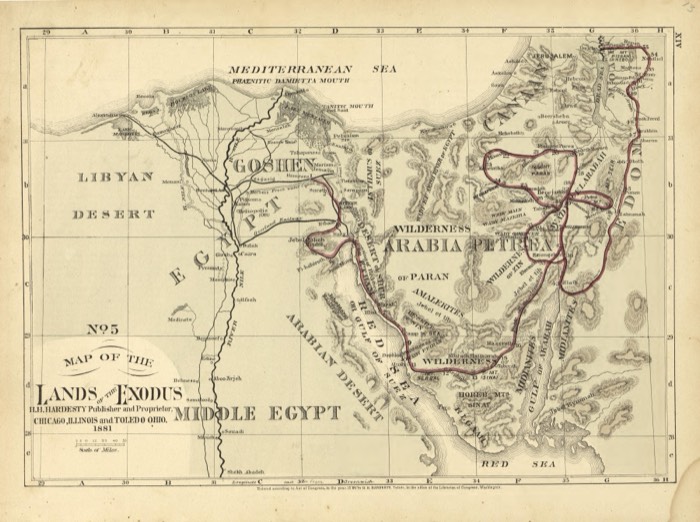 The lands of the ExodusH.H. Hardesty (Firm) · 1881
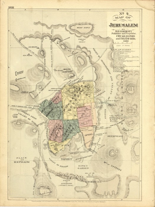 Map of Jerusalem, 1881H.H. Hardesty (Firm) · 1881
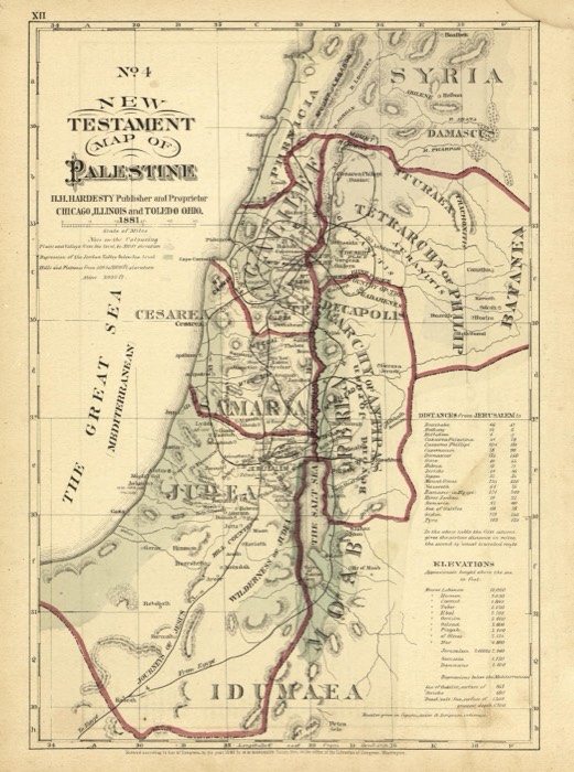 New Testament map of PalestineH.H. Hardesty (Firm) · 1881
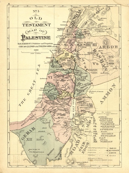 Old Testament map of PalestineH.H. Hardesty (Firm) · 1881
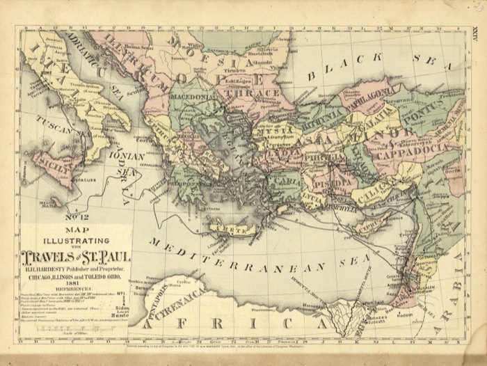 The travels of St. PaulH.H. Hardesty (Firm) · 1881
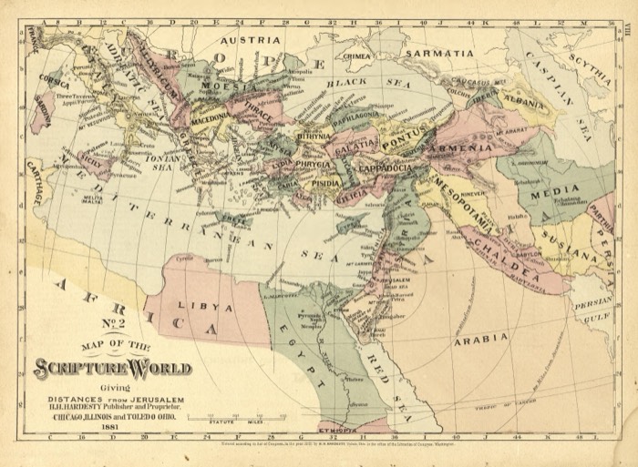 The Scripture world, with distances from JerusalemH.H. Hardesty (Firm) · 1881
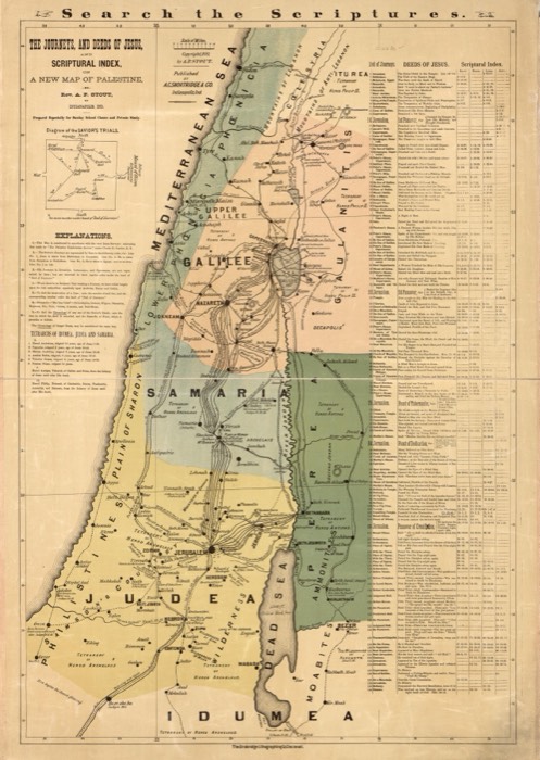 The journeys and deeds of Jesus, by A. P. StoutStout, Andrew Pearce · 1881
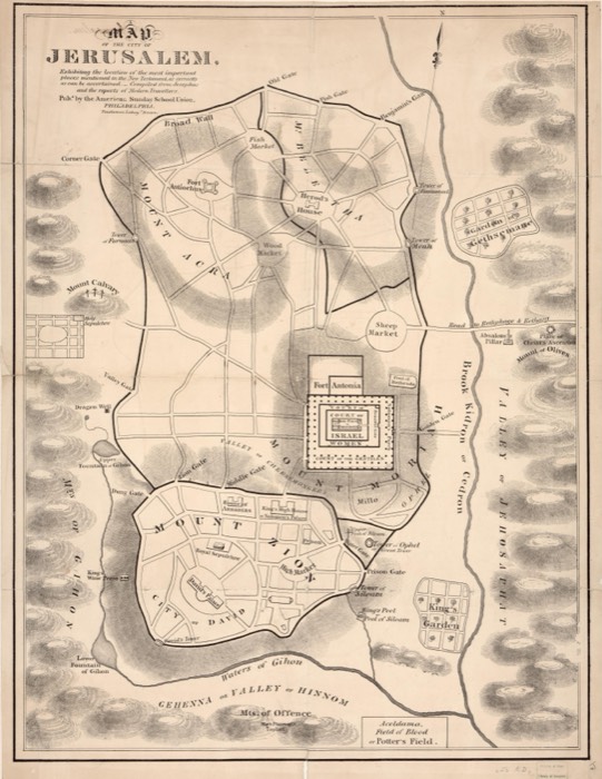 Jerusalem of the New Testament, American Sunday School UnionAmerican Sunday-School Union · 19th century
Old maps of the Holy Land, 1600–1881: Library of Congress, Geography and Map Division (public domain; item numbers found through Wikimedia Commons, images from the library’s own server); the texts are ours