Old maps · 1881
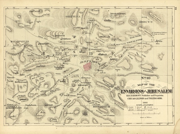
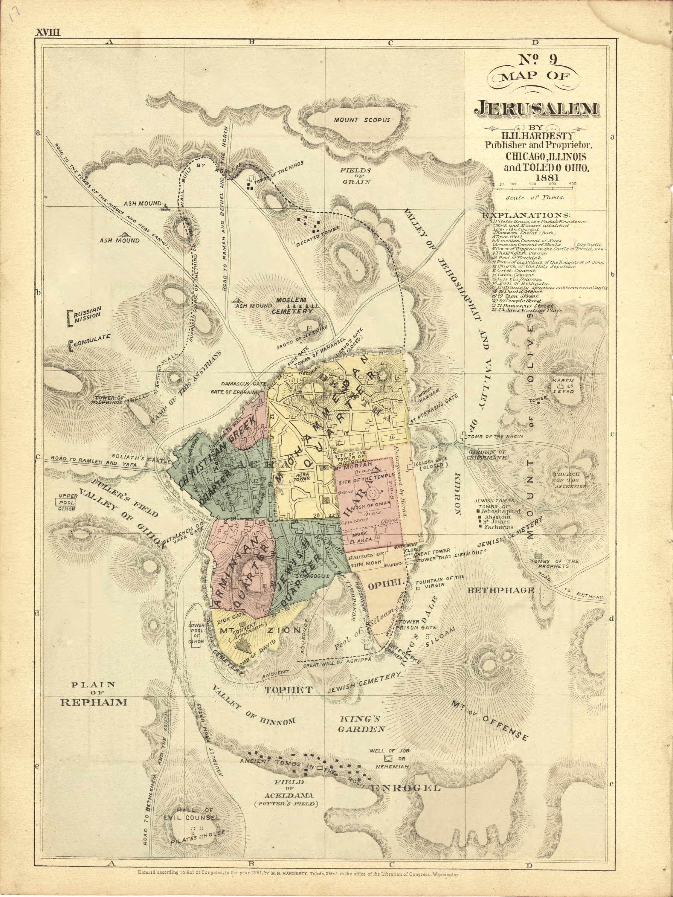
Map of Jerusalem, 1881
Mapmaker: H.H. Hardesty (Firm) · Year: 1881
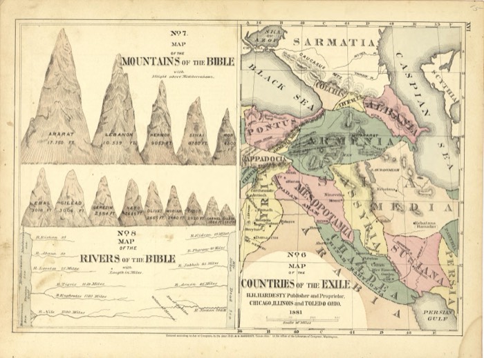
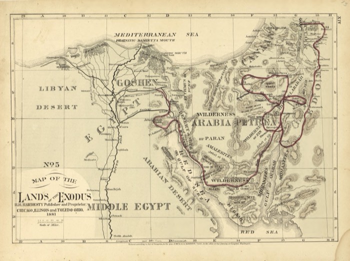
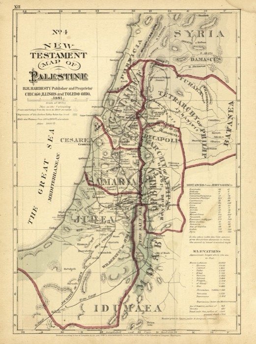
From the «Historical Hand-Atlas» published by H. H. Hardesty in Chicago and Toledo in 1881, which includes a numbered series of Bible maps. Map No. 9 shows the walled city in its four quarters, Christian, Armenian, Jewish and Muslim, with the Temple area, the valleys of Kidron and Hinnom and the sites that tradition named outside the walls.
The map at the Library of Congress
Old maps of the Holy Land, 1600–1881: Library of Congress, Geography and Map Division (public domain; item numbers found through Wikimedia Commons, images from the library’s own server); the texts are ours