Old maps · 1826
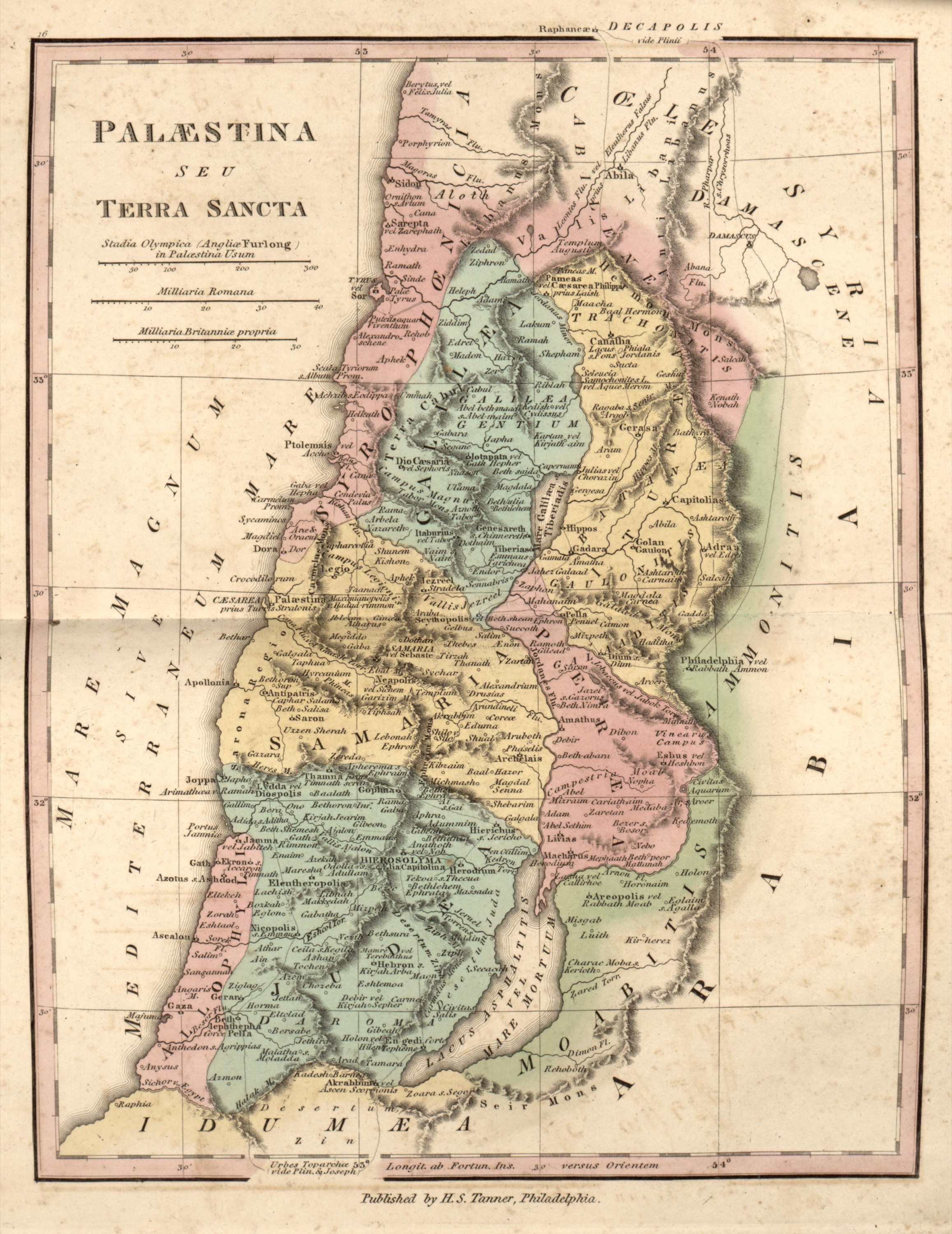
Palestine or the Holy Land, 1826
Mapmaker: Tanner, Henry Schenck · Year: 1826
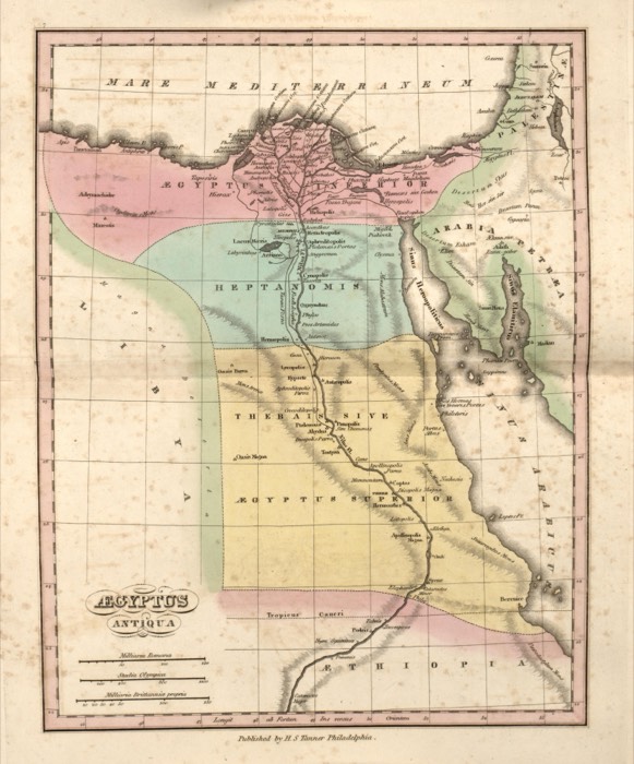
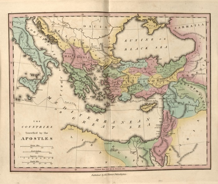
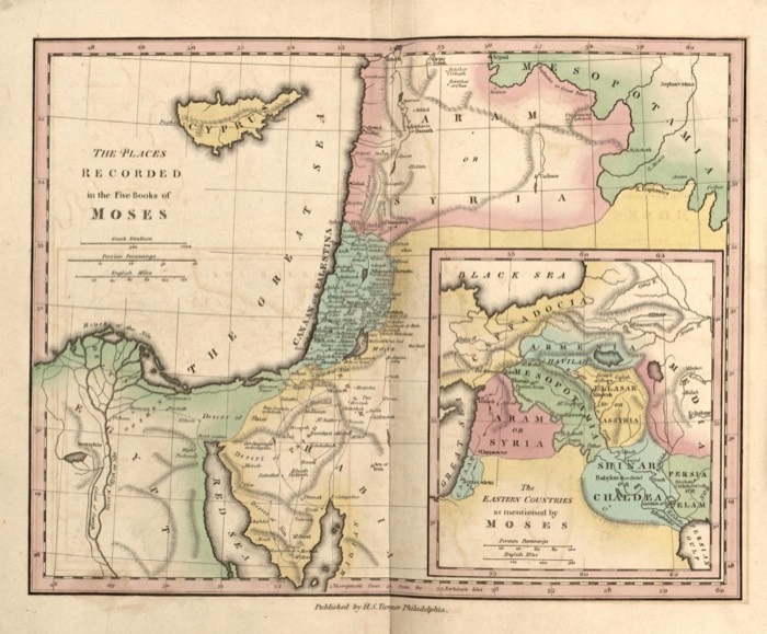
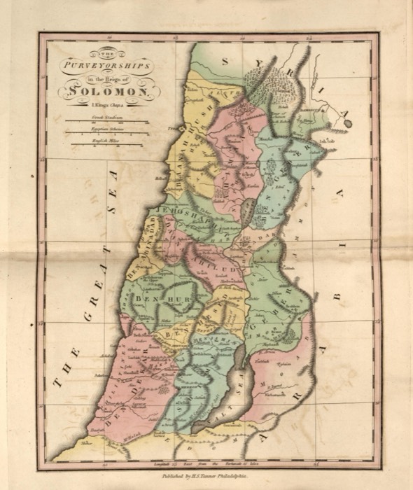
From «An Atlas of Ancient Geography», published by Henry S. Tanner in Philadelphia in 1826 «to elucidate the writings of the ancient authors, both sacred and profane». Here the names are in Latin and often double, the Hebrew name beside the Greek or Roman one: Ptolemais or Accho, Philadelphia or Rabbath Ammon, Joppa, Caesarea and Hierosolyma.
The map at the Library of Congress
Old maps of the Holy Land, 1600–1881: Library of Congress, Geography and Map Division (public domain; item numbers found through Wikimedia Commons, images from the library’s own server); the texts are ours