Old maps · 1881
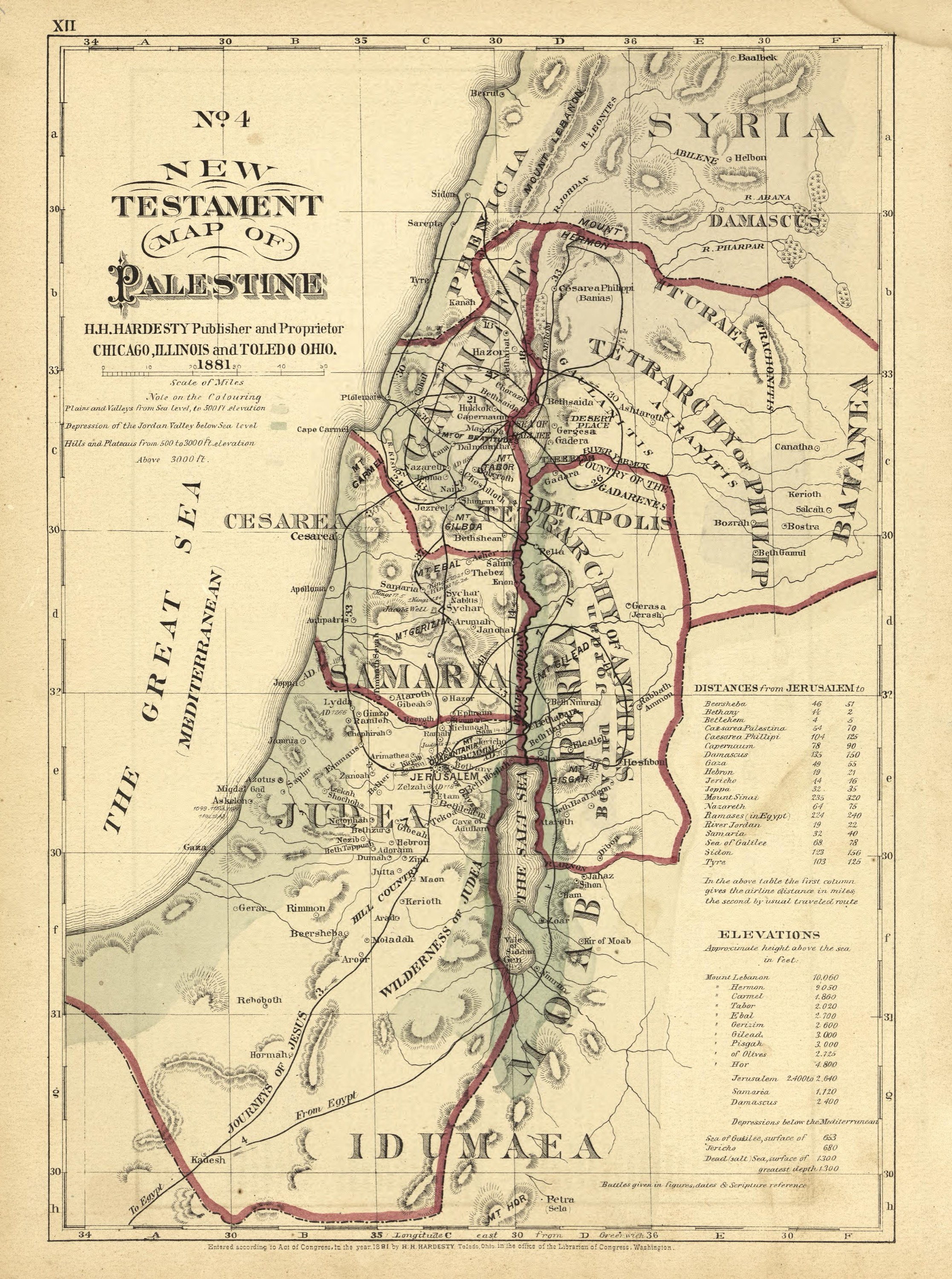
New Testament map of Palestine
Mapmaker: H.H. Hardesty (Firm) · Year: 1881
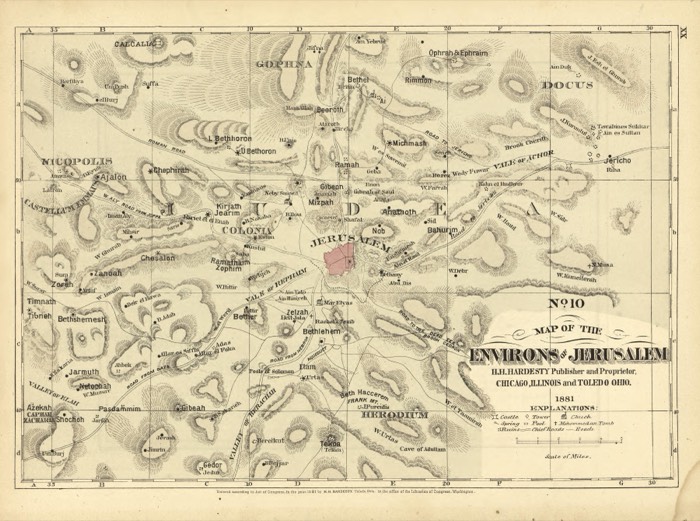
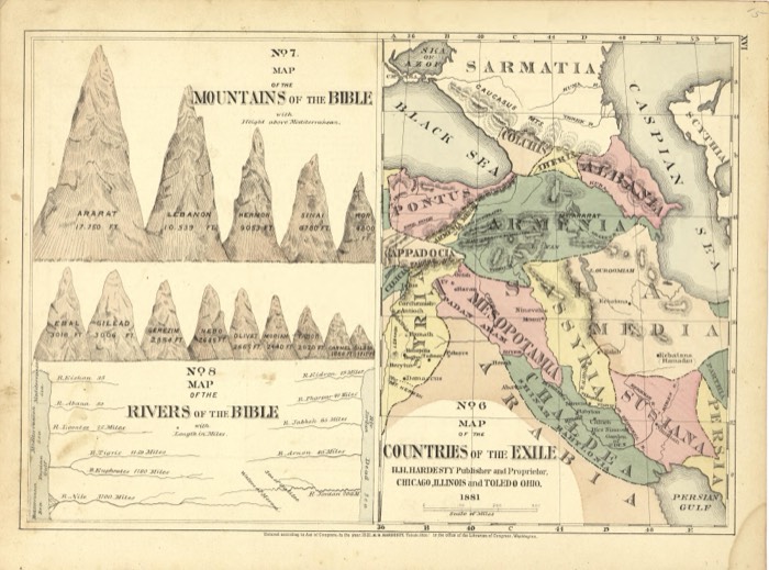
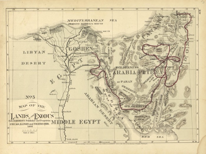
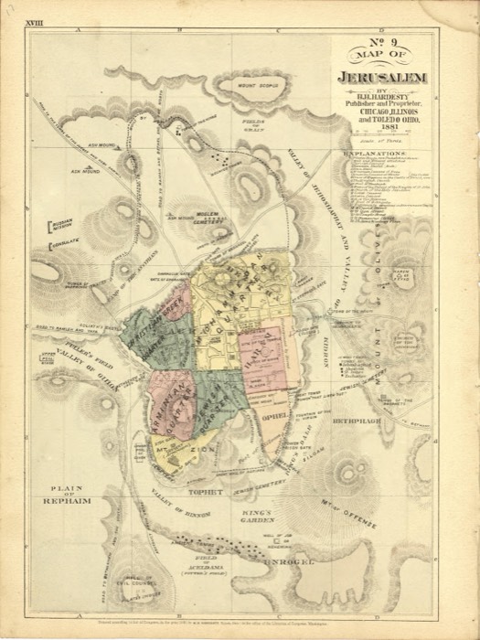
From the «Historical Hand-Atlas» published by H. H. Hardesty in Chicago and Toledo in 1881, which includes a numbered series of Bible maps. Map No. 4 shows the tetrarchies of the time of Jesus and colours the land by height, with the Jordan valley below sea level; tables give the distances from Jerusalem and the heights of the mountains.
The map at the Library of Congress
Old maps of the Holy Land, 1600–1881: Library of Congress, Geography and Map Division (public domain; item numbers found through Wikimedia Commons, images from the library’s own server); the texts are ours