Old maps · 19th century
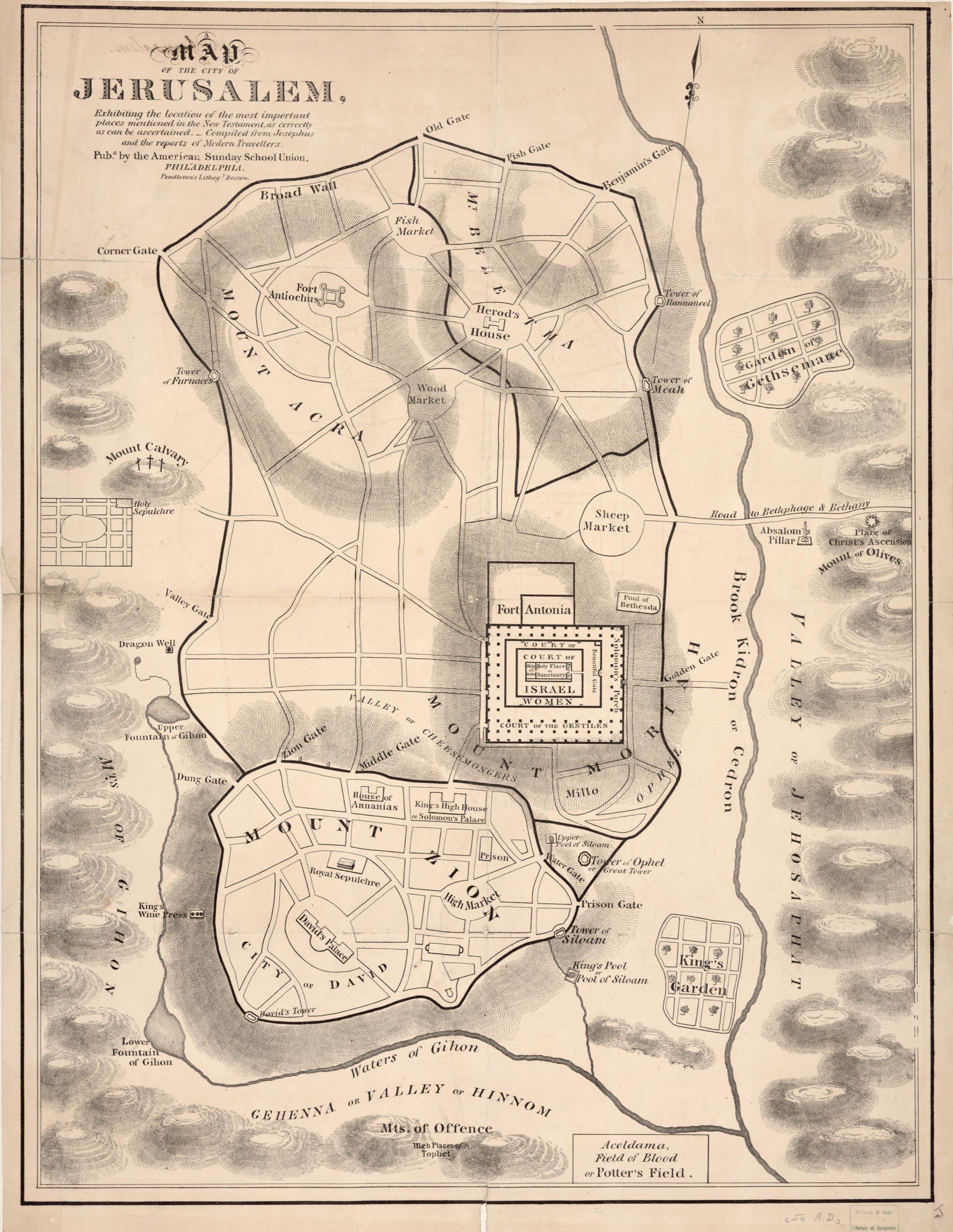
Jerusalem of the New Testament, American Sunday School Union
Mapmaker: American Sunday-School Union; Pendleton's Lithography · Year: 19th century
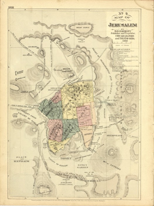
Made in Philadelphia for Sunday-school teaching, this map places «the most important places mentioned in the New Testament, as correctly as can be ascertained», compiled from Josephus and the reports of travellers. It shows the Temple courts, Fort Antonia, the Pool of Bethesda and Aceldama, the Field of Blood; many positions are guesses of its time.
The map at the Library of Congress
Old maps of the Holy Land, 1600–1881: Library of Congress, Geography and Map Division (public domain; item numbers found through Wikimedia Commons, images from the library’s own server); the texts are ours