Old maps · 1842
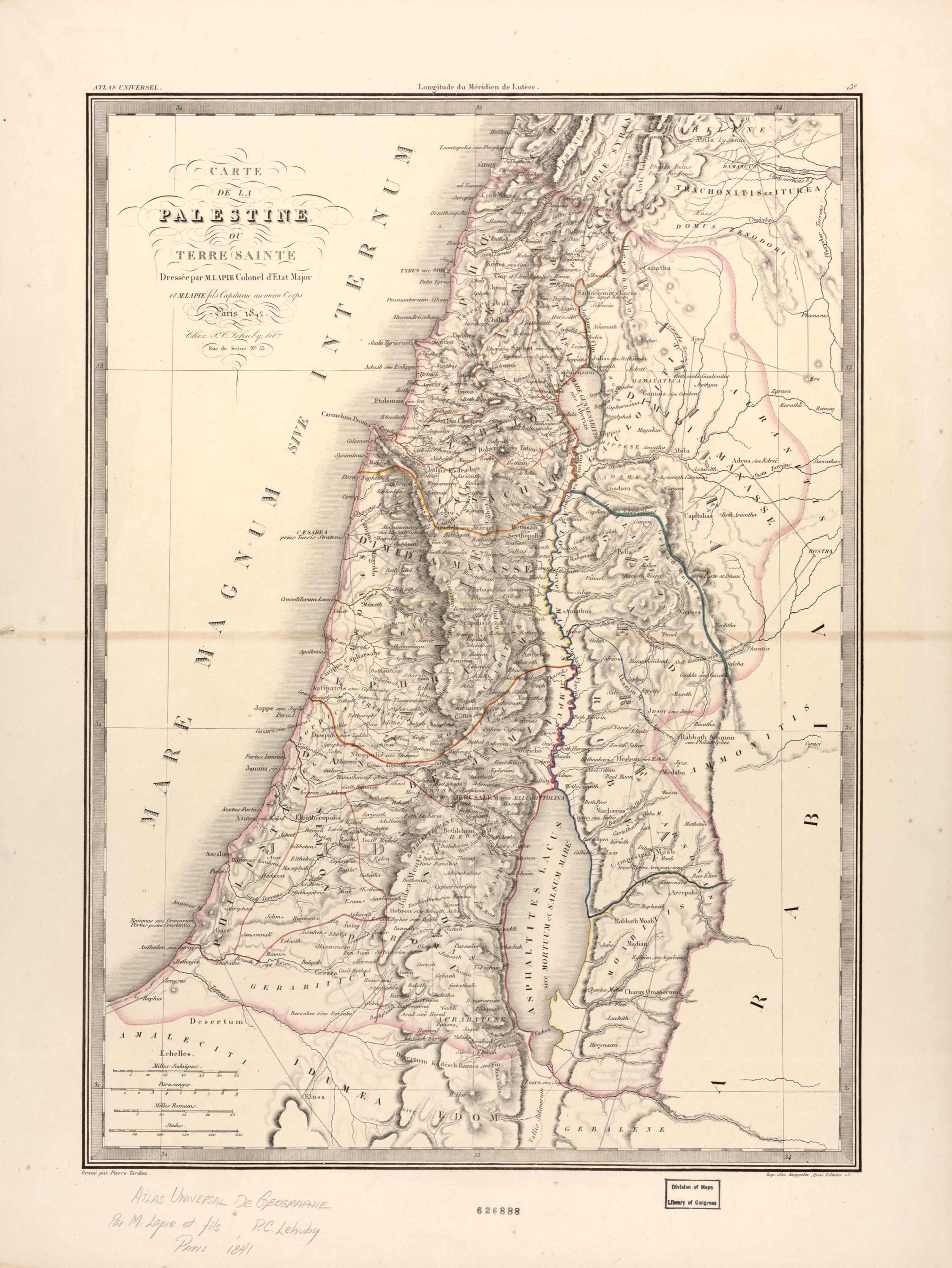
Palestine or the Holy Land, by Lapie
Mapmaker: Lapie, (Pierre); Tardieu, Pierre Antoine · Year: 1842
A sheet from the «Universal Atlas» of the French military mapmaker Pierre Lapie and his son, engraved by Pierre Tardieu in Paris. Hills are drawn with fine hatching, the tribes are outlined in colour and the places carry their Latin names, with the Dead Sea as «Lacus Asphaltites or Mare Mortuum».
The map at the Library of Congress
Old maps of the Holy Land, 1600–1881: Library of Congress, Geography and Map Division (public domain; item numbers found through Wikimedia Commons, images from the library’s own server); the texts are ours