Old maps · 1826
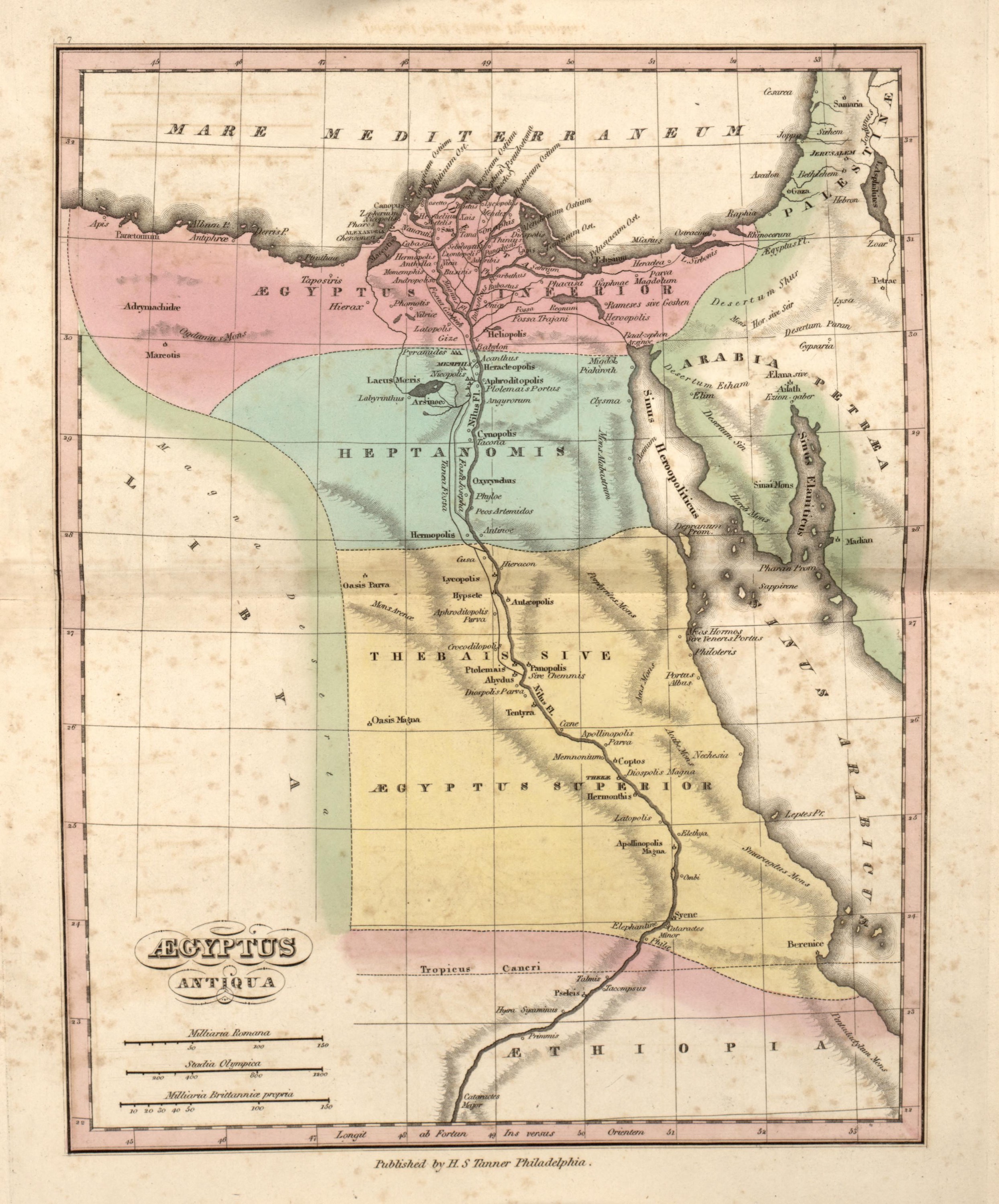
Ancient Egypt
Mapmaker: Tanner, Henry Schenck · Year: 1826
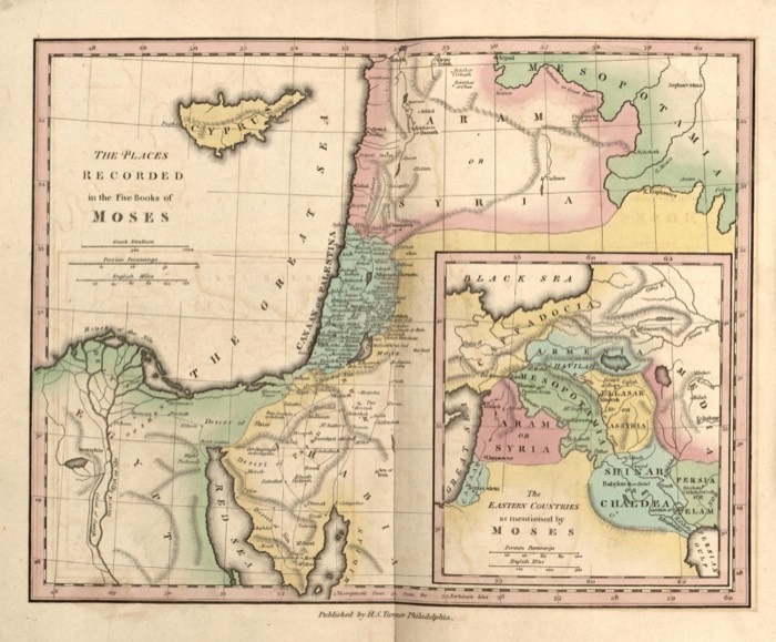
From «An Atlas of Ancient Geography», published by Henry S. Tanner in Philadelphia in 1826 «to elucidate the writings of the ancient authors, both sacred and profane». Egypt is shown in its three ancient parts, Lower Egypt, the Heptanomis and the Thebaid, with Stony Arabia, Mount Sinai and the edge of Palestine across the Red Sea; in the delta the map marks «Rameses or Goshen».
The map at the Library of Congress
Old maps of the Holy Land, 1600–1881: Library of Congress, Geography and Map Division (public domain; item numbers found through Wikimedia Commons, images from the library’s own server); the texts are ours