Old maps · c. 1660
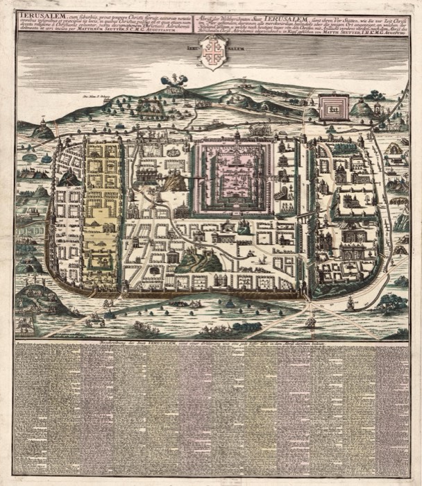
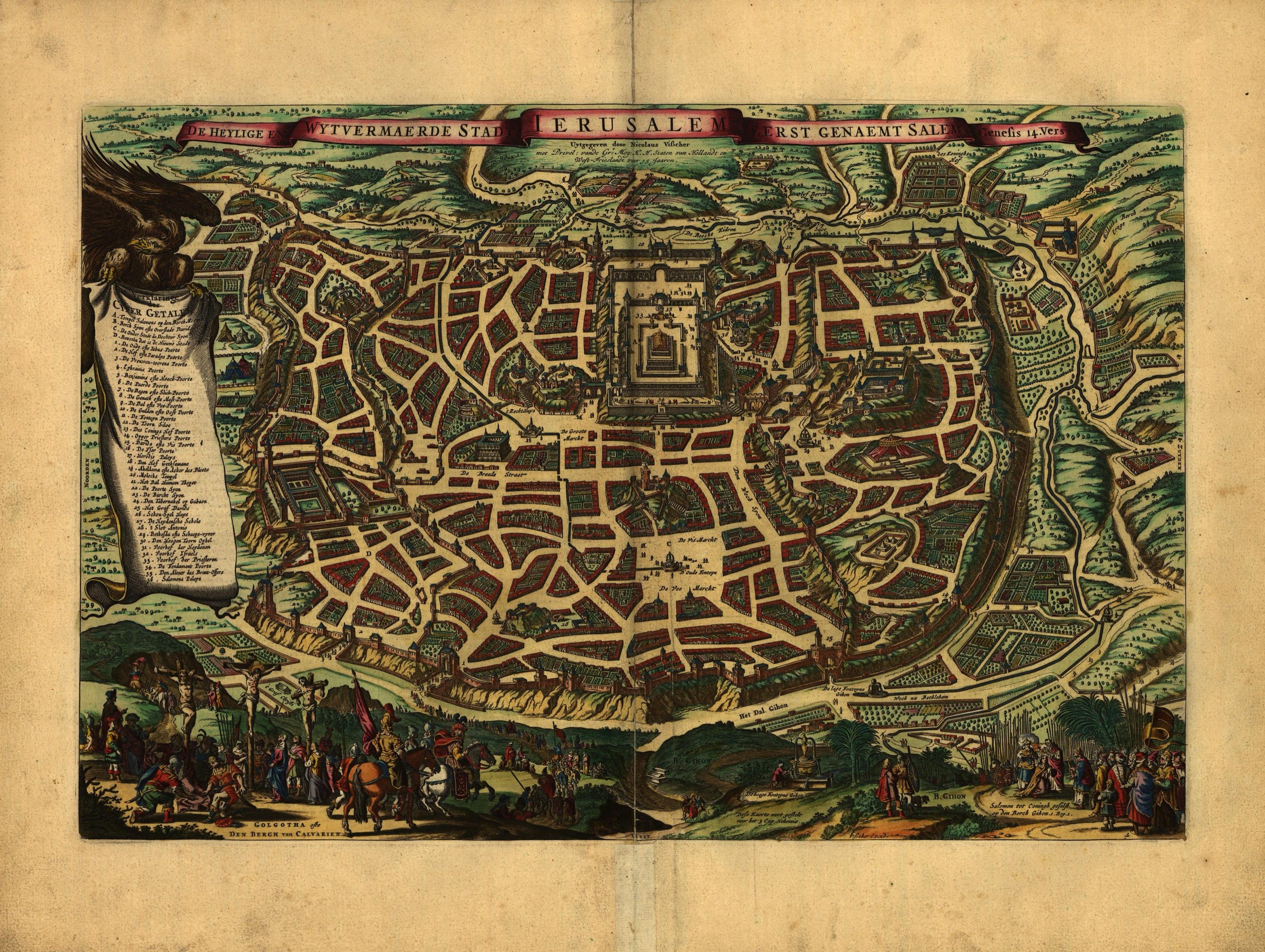
Jerusalem, by Nicolaes Visscher
Mapmaker: Visscher, Nicolaes; Visscher, Claes Jansz; Broeck, Abraham Van Den · Year: c. 1660
A bird's-eye view of Jerusalem as the Amsterdam publisher Nicolaes Visscher imagined it in the time of Christ, with the Temple in the middle and a numbered key on a scroll. The title calls it the holy city «first named Salem» and points to Genesis 14. Small scenes along the bottom show Golgotha with three crosses and Solomon anointed king at Gihon.
The map at the Library of Congress
Old maps of the Holy Land, 1600–1881: Library of Congress, Geography and Map Division (public domain; item numbers found through Wikimedia Commons, images from the library’s own server); the texts are ours