Old maps · 1881
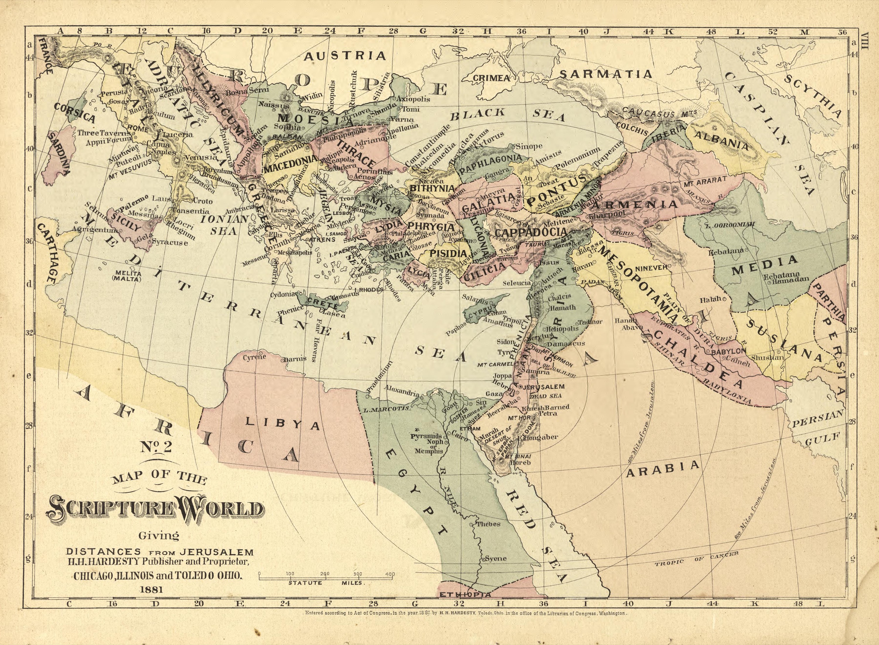
The Scripture world, with distances from Jerusalem
Mapmaker: H.H. Hardesty (Firm) · Year: 1881
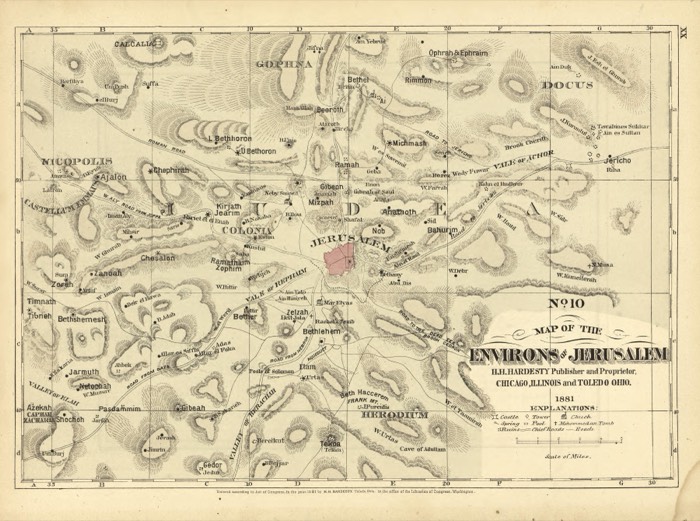
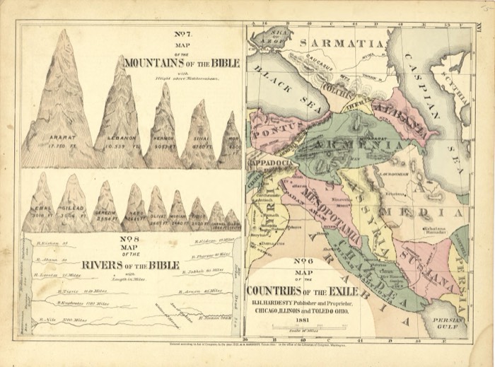
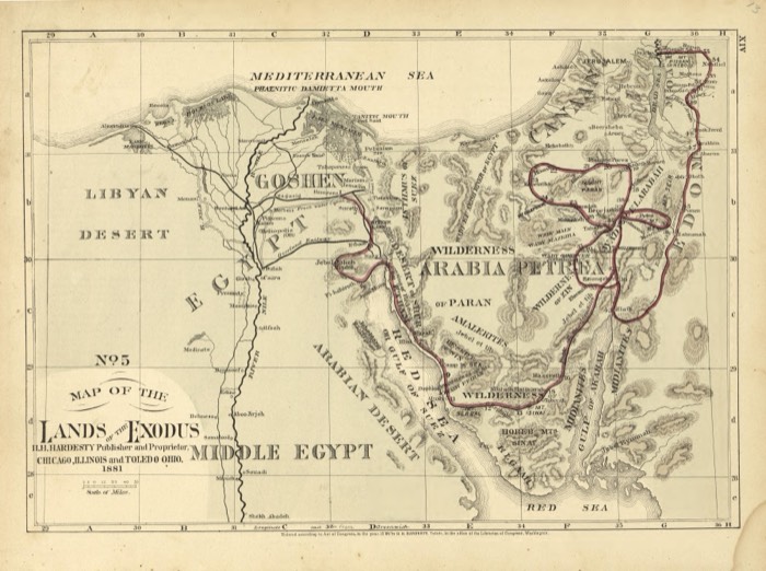
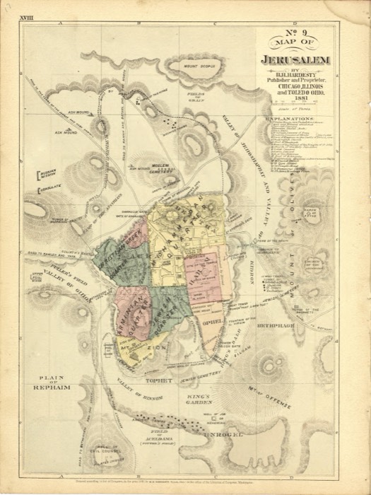
From the «Historical Hand-Atlas» published by H. H. Hardesty in Chicago and Toledo in 1881, which includes a numbered series of Bible maps. Map No. 2 shows the lands from Italy to Persia, with circles drawn around Jerusalem to give the distance to each place.
The map at the Library of Congress
Old maps of the Holy Land, 1600–1881: Library of Congress, Geography and Map Division (public domain; item numbers found through Wikimedia Commons, images from the library’s own server); the texts are ours