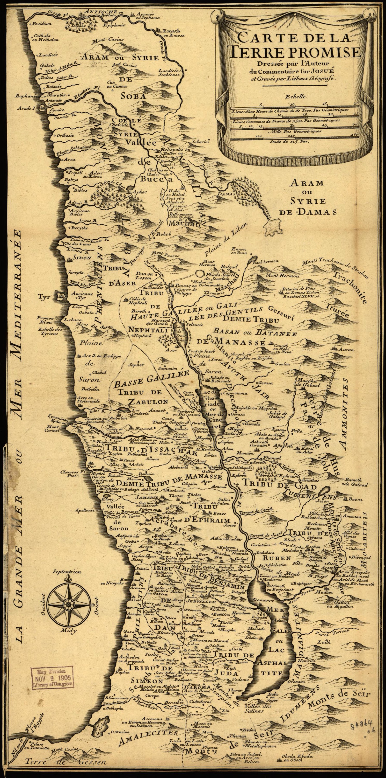
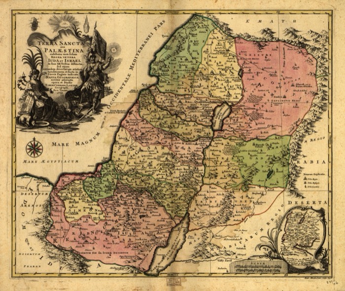
A tall, narrow map of the Promised Land from Antioch down to the edge of Egypt, made for a French commentary on the Book of Joshua and engraved by the geographer Liébaux. It marks the territory of each tribe and gives many places two names, the biblical one and a later one.
Old maps of the Holy Land, 1600–1881: Library of Congress, Geography and Map Division (public domain; item numbers found through Wikimedia Commons, images from the library’s own server); the texts are ours