Old maps · 1776
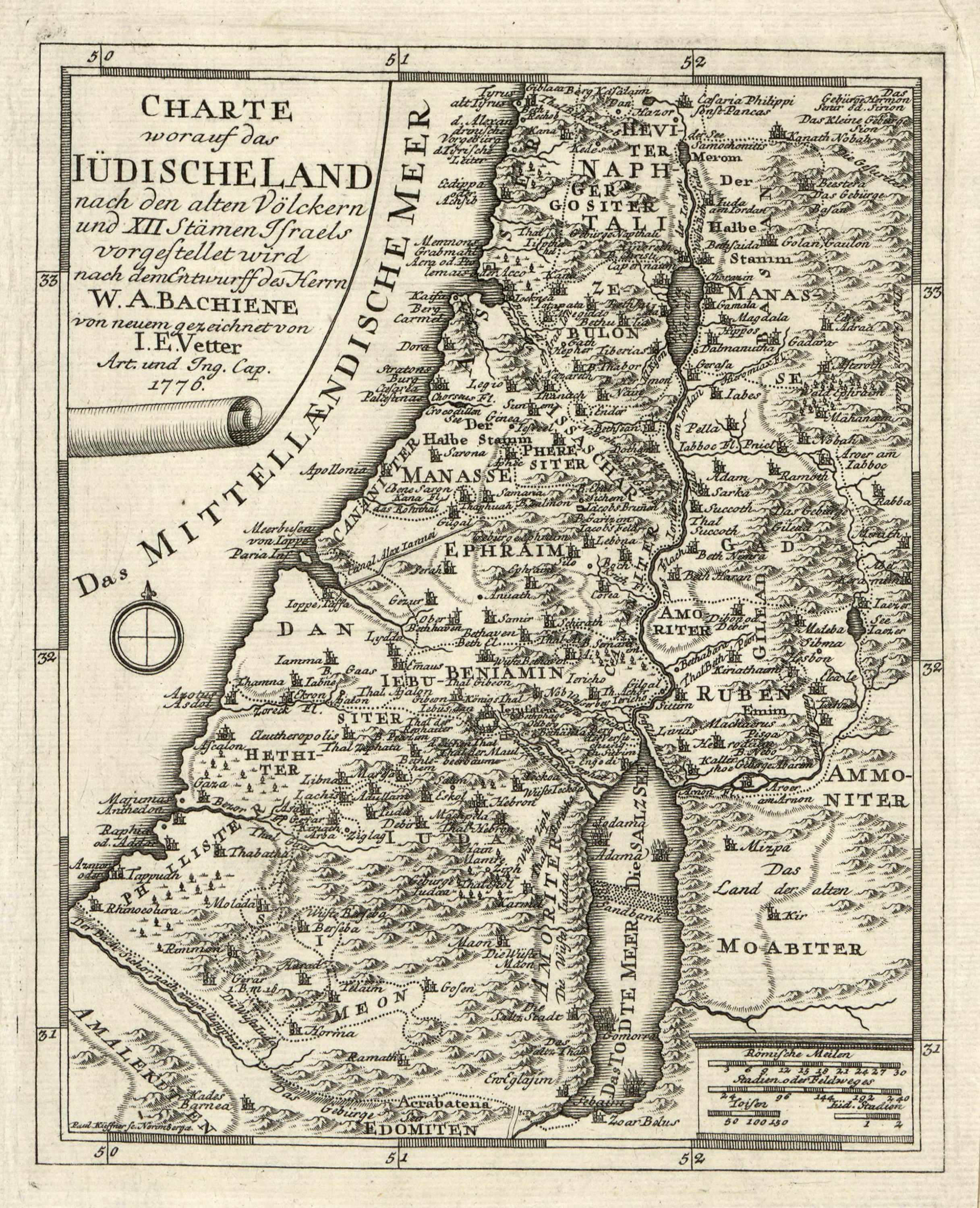
The land of the Jews, its old peoples and twelve tribes
Mapmaker: Vetter, I. E. · Year: 1776
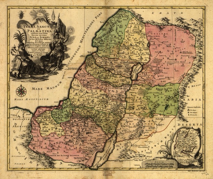
A German map of 1776, drawn by I. E. Vetter after a design by the Dutch geographer Willem Albert Bachiene. It names both the peoples who lived in the land before Israel, such as the Hivites, Jebusites, Hittites and Amorites, and the tribes of Israel, and calls the Dead Sea both «the Dead Sea» and «the Salt Sea».
The map at the Library of Congress
Old maps of the Holy Land, 1600–1881: Library of Congress, Geography and Map Division (public domain; item numbers found through Wikimedia Commons, images from the library’s own server); the texts are ours