Old maps · 1654
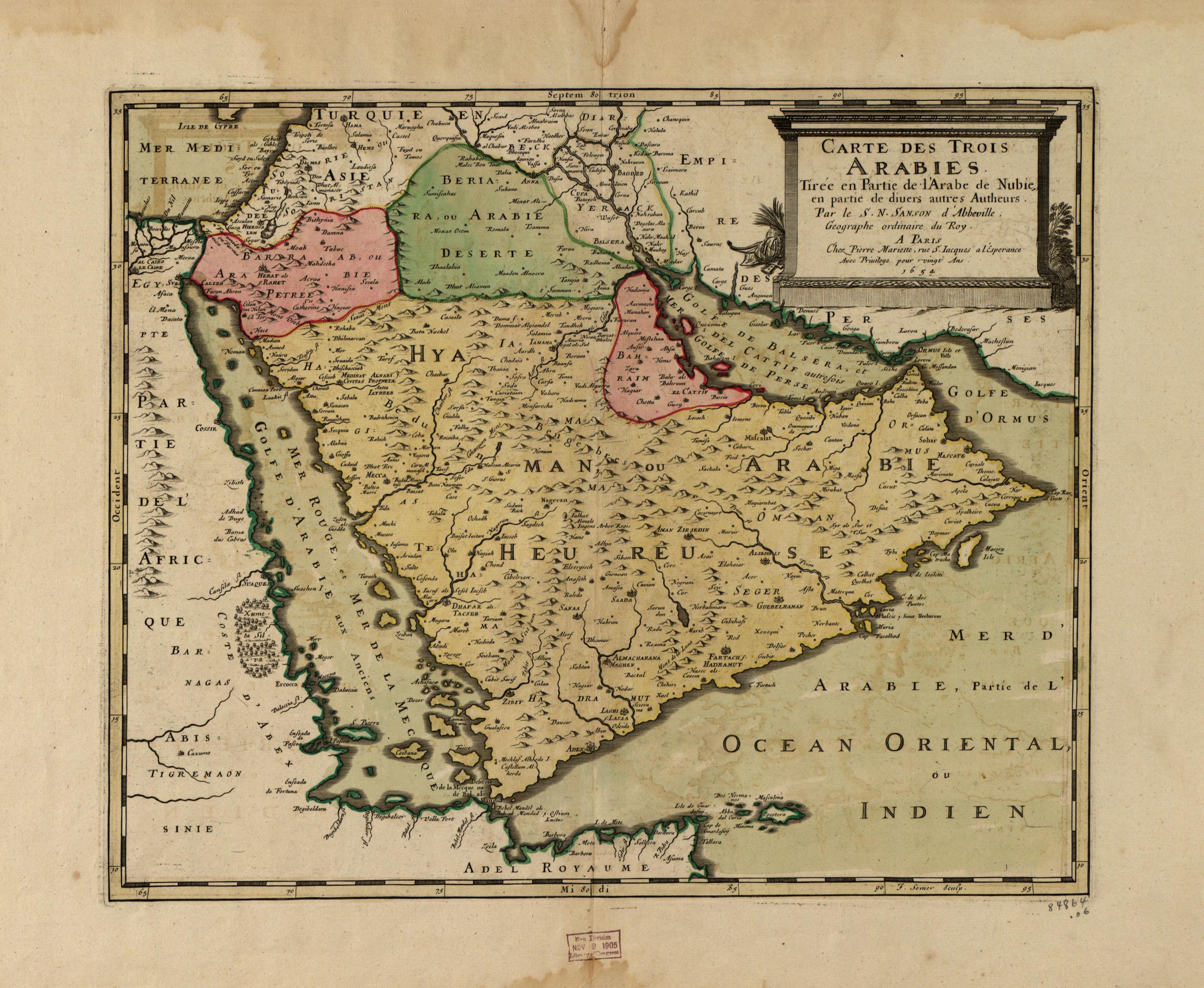
The three Arabias, by Nicolas Sanson
Mapmaker: Sanson, Nicolas; Mariette, Pierre; Somer, J. · Year: 1654
Nicolas Sanson, geographer to the French king, divides Arabia as the ancient geographers did: Stony Arabia (Petraea) by Sinai and the Red Sea, Desert Arabia to the north and Happy Arabia (Felix) in the south. The map was published in Paris in 1654 and, as its title says, draws partly on the medieval Arab geographer known in Europe as «the Nubian», al-Idrisi.
The map at the Library of Congress
Old maps of the Holy Land, 1600–1881: Library of Congress, Geography and Map Division (public domain; item numbers found through Wikimedia Commons, images from the library’s own server); the texts are ours