Old maps · 1835
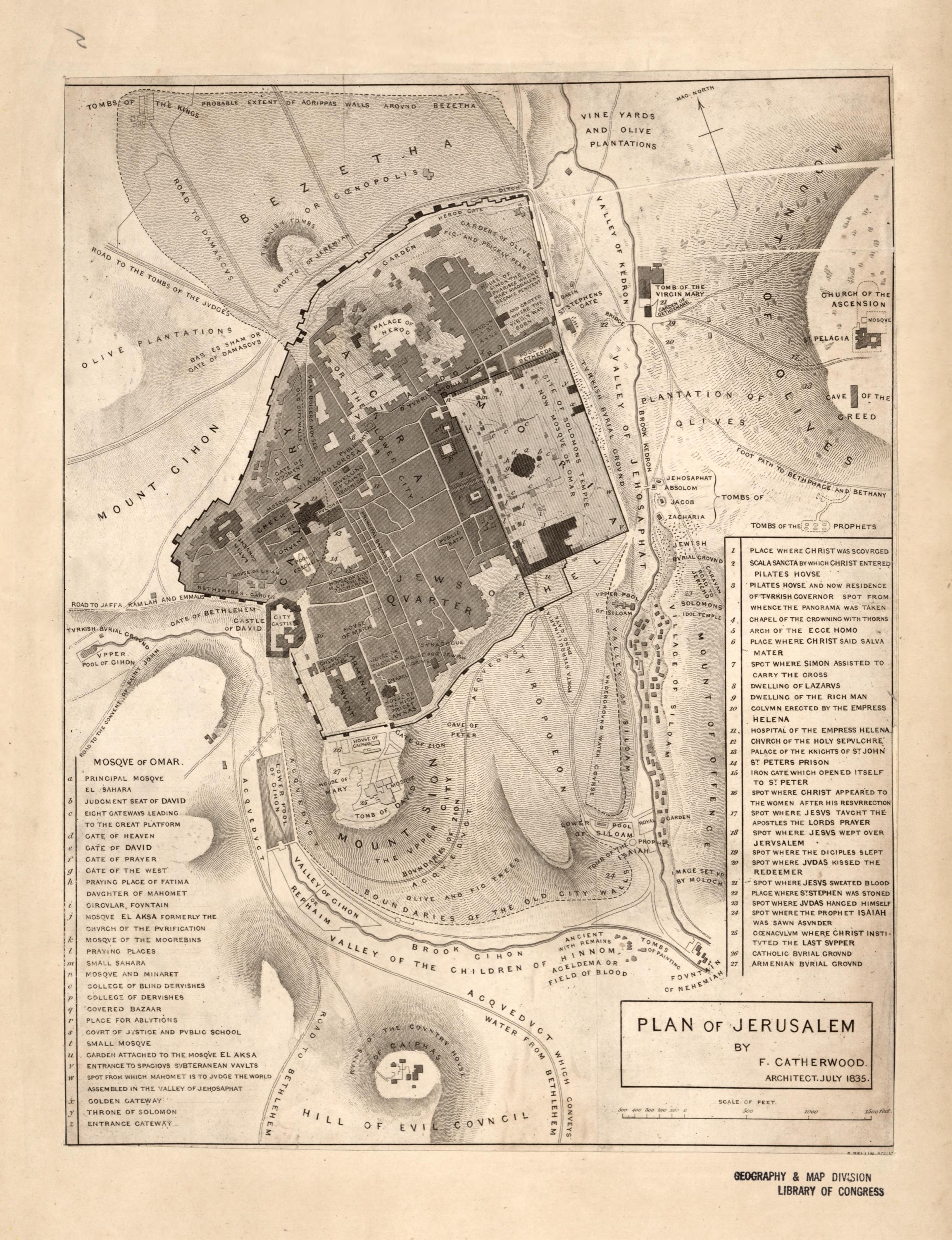
Plan of Jerusalem, by Frederick Catherwood
Mapmaker: Catherwood, Frederick; Bellin, Samuel · Year: 1835
The English architect Frederick Catherwood drew this plan from the survey of the city he made in 1833, one of the first measured plans of Jerusalem. The key lists the holy places as pilgrims were shown them at the time, such as the spot where Christ wept over the city, and the buildings of the Temple Mount; it records the tradition of its day, not the findings of later archaeology.
The map at the Library of Congress
Old maps of the Holy Land, 1600–1881: Library of Congress, Geography and Map Division (public domain; item numbers found through Wikimedia Commons, images from the library’s own server); the texts are ours