Old maps · 1815
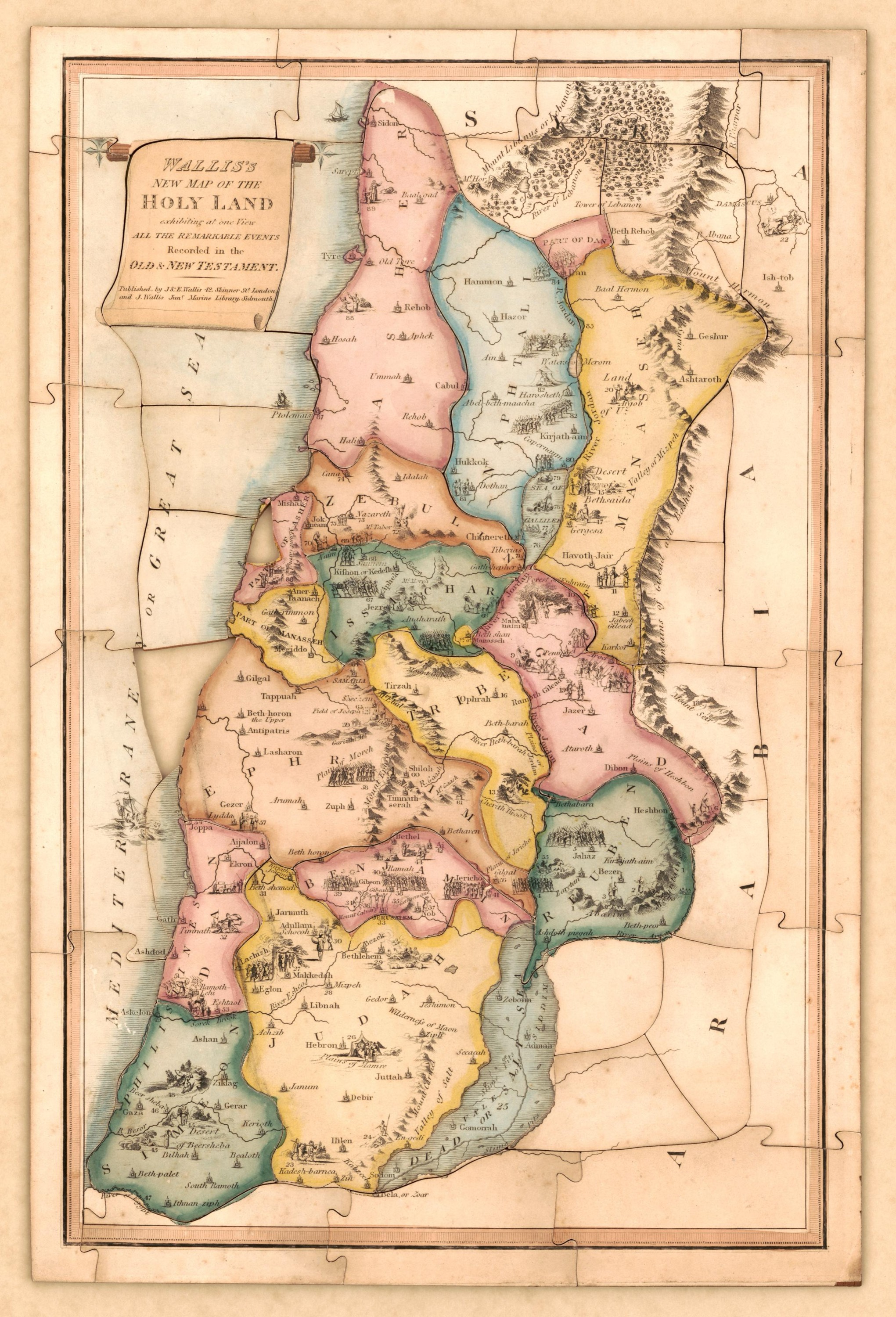
Wallis's new map of the Holy Land
Mapmaker: J. & E. Wallis; Wallis, J. (John) · Year: 1815
A London jigsaw puzzle: the map was mounted on wood and cut into pieces, and the joins are still visible. Its title promises to show «at one view all the remarkable events» of the Old and New Testaments, and tiny numbered scenes fill each tribe, from Abraham at Mamre to the boats on the Sea of Galilee.
The map at the Library of Congress
Old maps of the Holy Land, 1600–1881: Library of Congress, Geography and Map Division (public domain; item numbers found through Wikimedia Commons, images from the library’s own server); the texts are ours