Old maps · 1752
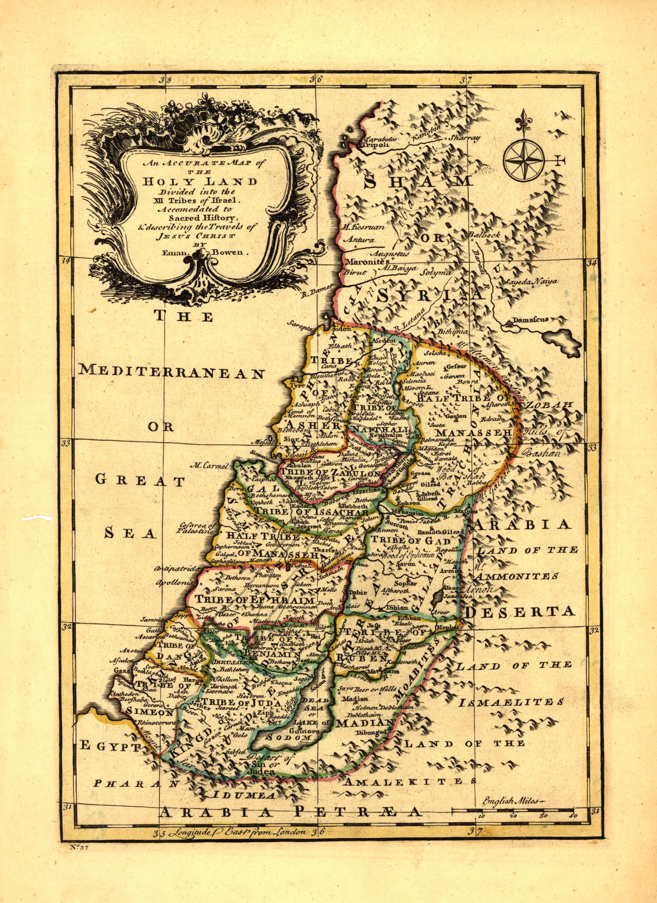
The Holy Land in twelve tribes, by Emanuel Bowen
Mapmaker: Bowen, Emanuel · Year: 1752
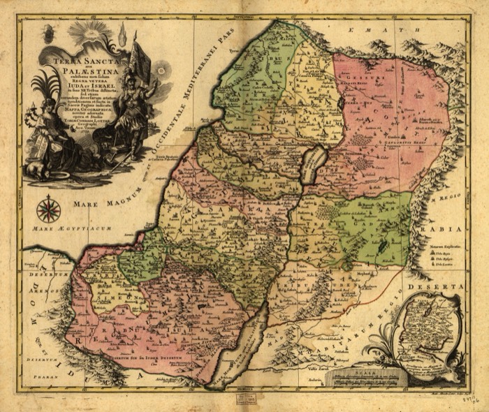
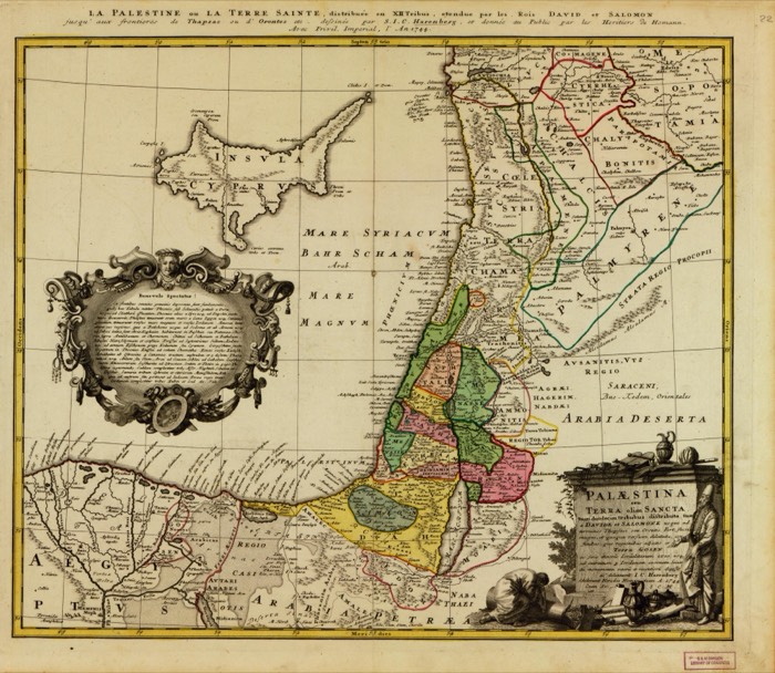
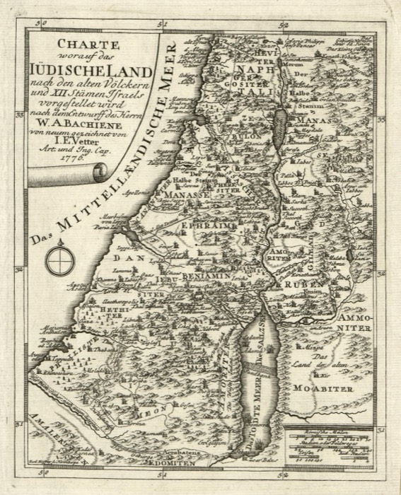
A small English atlas map by Emanuel Bowen, mapmaker to King George II. Its title promises the land «divided into the XII tribes of Israel» and «describing the travels of Jesus Christ»; each tribe has its own colour, and to the east lie the lands of the Ammonites and the Ishmaelites.
The map at the Library of Congress
Old maps of the Holy Land, 1600–1881: Library of Congress, Geography and Map Division (public domain; item numbers found through Wikimedia Commons, images from the library’s own server); the texts are ours