Old maps · 1744
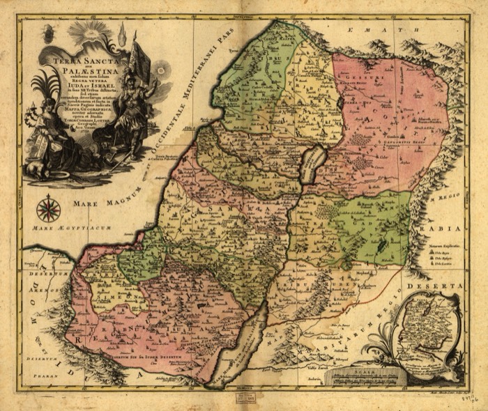
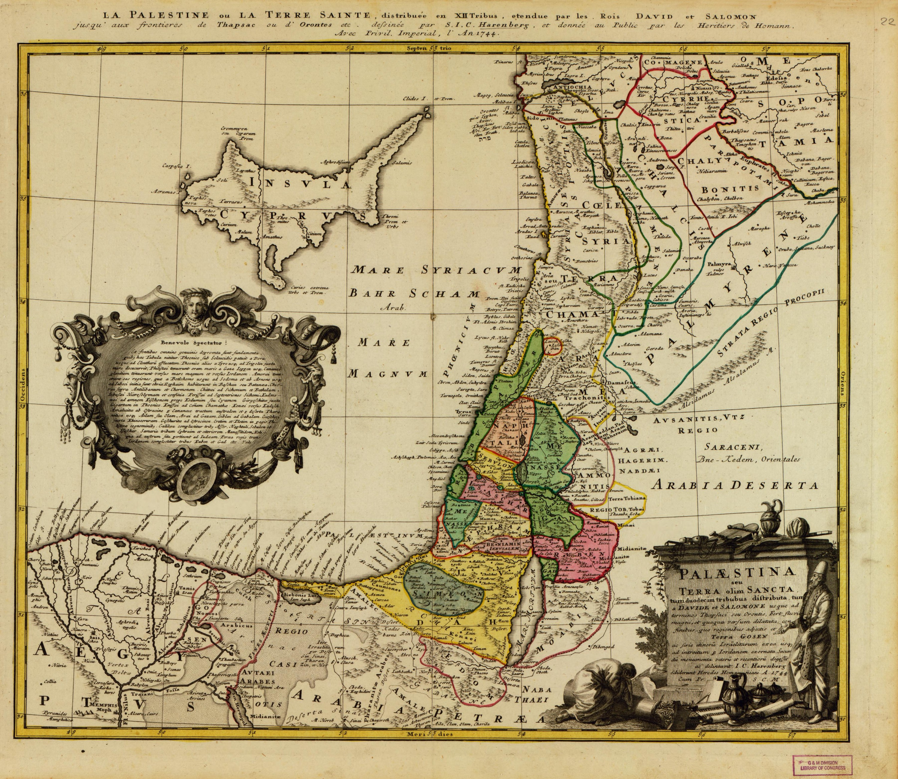
Palestine of the twelve tribes, of David and Solomon
Mapmaker: Homann Erben (Firm); Harenberg, Johann Christoph · Year: 1744
Drawn by the German scholar Johann Christoph Harenberg and published in Nuremberg by the heirs of Johann Baptist Homann in 1744. The coloured strip of the tribes sits inside the wider realm the map gives to David and Solomon, reaching north to Thapsacus on the Euphrates and to the Orontes, with Cyprus and the edge of Egypt. A long Latin note in the cartouche addresses the «kind viewer».
The map at the Library of Congress
Old maps of the Holy Land, 1600–1881: Library of Congress, Geography and Map Division (public domain; item numbers found through Wikimedia Commons, images from the library’s own server); the texts are ours